

The master key to Indonesia’s land reform
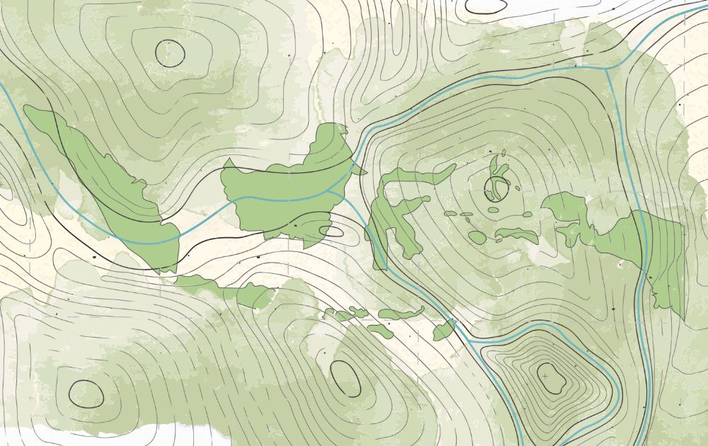
A story behind the Map of Geospatial Information Overlaps
The author is a Land and Spatial Planning Specialist at the Coordinating Ministry for Economic Affairs. This article is a winning submission to The Reformist Insiders Writing Competition 2026. It reflects the author’s own analysis and views and does not necessarily represent those of The Reformist.
This article is also available in Indonesian here.
Back in January 2019, I was recruited as a Geospatial Information Systems Analyst at the Coordinating Ministry for Economic Affairs. That was where many stories began, and where the work of trying to matter started in earnest. With a geography degree as my foundation, my superiors challenged my team and me to explore how far Indonesia’s national spatial database could actually be put to use under the One Map Policy framework.
The One Map Policy was, at the time, one of then-president Joko “Jokowi” Widodo’s flagship programs. It brought together 85 thematic maps that could be deployed for a wide range of national purposes. We were given the freedom to think, to dig for ideas, and to ensure that the work ahead would leave a concrete mark on how government functions.
That work eventually led us to one destination: the Indicative Map of Geospatial Information Overlaps, known in Indonesian as PITTI.
PITTI is a geospatial product that flags potential land conflicts arising from overlapping land status designations and business permits. When it was first released in late 2019, it revealed something that had long been suspected but had never been clearly shown: approximately 77.3 million hectares of land across Indonesia were flagged for potential overlaps. The problems fell into four categories:
Misalignment between spatial plans and forest zone designations;
Misalignment between provincial and district-level spatial plans;
Misalignment between business activities and their designated spatial allocations; and
Direct permit-on-permit overlaps at the same location.
The problems were complex and difficult to parse. But for us, that was exactly the point. A challenge to conquer.
The map that opened a can of worms
PITTI pulled back the curtain on years of tangled land governance and permits in Indonesia. There was significant resistance from within the government itself. Many viewed the transparency as dangerous, the kind of work that stirs up entrenched interests and invites retaliation from land “mafias.” But we kept moving, trying to correct what we quietly called the “geospatial sins” of the past; the administrative failures that had seeded today’s conflicts and were holding back progress.
The consequences of land conflicts are not abstract. They show up in four concrete ways:
Legal uncertainty over land status that locks up investment and leaves parcels idle;
Activities operating beyond what the environment can sustain, leading to ecological damage;
Lost government revenue; and
The erosion of communities’ rights to the land beneath their feet.
Looking at all of that, we realized information alone would not be enough. A map can show where the problems are, but it cannot fix them. We needed policy.
The much-needed regulation
The drafting of the Omnibus Law on Job Creation, gave us that opening. PITTI was positioned as the empirical foundation for a wholesale reform of land status governance and permits going forward. Overlap became the organizing concept; the problem to be named and solved.
With PITTI as its basis, the Coordinating Ministry for Economic Affairs coordinated all relevant technical ministries to develop resolution policies for each problem category shown on the map. Mandates were distributed according to each ministry’s jurisdiction:
The Coordinating Ministry for Economic Affairs coordinated all relevant technical ministries to develop resolution policies for each category of problem shown in the map, in line with each ministry’s mandate.
The Environment and Forestry Ministry (KLHK) was tasked with resolving community rights within forest zones and enforcing geospatially informed compliance.
The Agrarian Affairs and Spatial Planning Ministry (ATR/BPN) was tasked with harmonizing provincial and district-level spatial plans and auditing oil palm plantation land titles.
The Energy and Mineral Resources Ministry is responsible for issuing mining permits.
Other relevant ministries (such as the Industry Ministry and the Investment Coordinating Board) were in support of PITTI’s mission to streamline bureaucratic processes.
This collective commitment eventually produced several government regulations on spatial planning, forestry, and land use (PP 21/2021, PP 23/2021, PP 24/2021, and PP 43/2021) along with a range of ministerial regulations, all governing the resolution of overlapping land status conflicts.
Under the Omnibus Law’s implementing regulations, we, as the lead drafters of the relevant government regulations on overlap resolution, mandated a full restart of all spatial plans at the provincial and district levels.
Provincial spatial plans were revised from scratch to align with forest zone designations. District and city plans then followed, referenced against the revised provincial plans, so that the entire hierarchy of development planning would finally be coherent and forward-looking.
These two initial steps were the structural foundation for improving the quality of spatial planning and guaranteeing legal certainty over the land that underpins permits and investment.
Cleaning up mining and palm oil
Running alongside the spatial plan restart, another front had to be addressed: the extraction and plantation sectors.
In 2021, we initiated preparations for a dedicated PITTI for mining activities in forest zones, which revealed 4.7 million hectares of potential overlap between mining operations and protected forest areas. Working with KLHK and the Energy and Mineral Resources Ministry, we formulated resolution policies that ultimately led to the revocation of more than 2,000 mining permit decrees found to be in breach of existing laws. Between 2021 and 2023, the total area of mining permits within forest zones was reduced by more than 1 million hectares.
In the plantation sector, PITTI revealed that three million hectares of oil palm plantations were sitting on land classified as forest zones. The government responded by formulating a policy to claw back land from corporations (specifically in areas encroaching on conservation forests and protected forests) while mandating reforestation.
Oil palm land within production forests was redirected to state-owned plantation enterprises. One of the most widely discussed recent developments is the reclamation of oil palm plantation land within Tesso Nilo National Park, which is now being restored as a conservation forest.
Taken together, the enforcement actions in the mining and oil palm sectors represent a significant leap in Indonesia’s permitting reform, not only in terms of recovering lost state revenue, but in advancing meaningful environmental restoration.
The inevitable disruption
The Omnibus Law and its implementing regulations sent shockwaves through the business world. Corporations that had spent years profiting from the gray zones of Indonesian permitting, costing the state billions, sometimes trillions of rupiah, suddenly found themselves facing the prospect of sanctions, higher levies, and criminal liability. The anxiety was real, and in many cases, warranted.
At the same time, the bar for new investment and permits was raised considerably. Any new application now had to account for forest zone designations, spatial allocations, and all previously issued permits. This was not bureaucratic caution for its own sake. It was a deliberate effort to ensure that the overlap cases of the past — the ones that fueled social conflict, ecological damage, and investment uncertainty — would not simply be replicated under a new set of names.
Nearly 20 million hectares cleared of issues
The efforts were not in vain. Over five years — from 2019 to 2024 — the total area of flagged overlaps was reduced from 77.3 million hectares to 57.4 million hectares. Nearly 20 million hectares were cleared from a backlog of governance failures accumulated over decades. For a government that had long been accused of ignoring the problem, this was a genuine reckoning.
But five years, as it turns out, is not enough. And there is far more to go.
The end of 2024 marked the close of our chapter. Government restructuring moved the task force we had been running to the newly formed Coordinating Ministry for Infrastructure and Regional Development. The work has found a new home. What happens next is not ours to steer.
This is still only the beginning. What we can hope for is that the task force and the mission of resolving land overlap and permitting conflicts continue to build on what the five years between 2019 and 2024 made possible. Not as an ending, but as a foundation.
Read winning articles from our first Writing Competition on our site: thereformist.id. The Bahasa Indonesia series can be found in the “Insiders” section. New article every week!
 | A guest post by
|